|
Session D3.1
Franklin-98 Living Shoreline
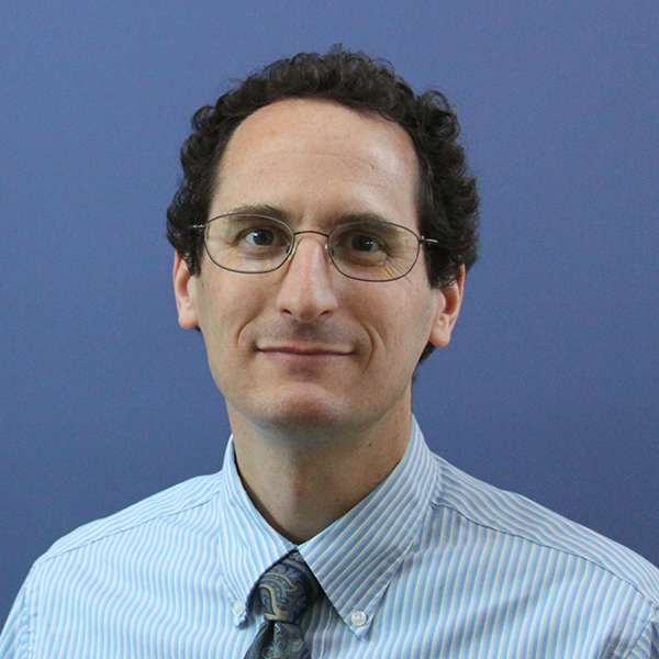
Erick Harter, PG
2:15 – 2:45 PM ET
| About the Presentation |
|
Within Apalachicola Bay, for approximately 12 miles between Eastpoint and Carrabelle, much of Highway 98 lies immediately adjacent to the water's edge. Due to chronic erosion along this shoreline, and the importance of this roadway as a designated Hurricane Evacuation Route, millions of dollars have been spent trying to protect the roadway from erosion damage. In many cases, erosion during coastal storm events has damaged the roadway, requiring costly repairs. During these repairs, traffic must be diverted around construction areas, often by condensing the two-lane road down to one lane, thus causing delays to travelers.
The installation of nearshore reefs will help attenuate wave energy through their increased elevation and rough surface, which will create a calmer wave environment landward of the reefs. These reefs will become colonized with various marine species, including oysters, which will help serve as a source of larval oysters for other parts of the bay. Reefs will be low and broad (like natural reefs) rather than high and narrow (like many living shoreline breakwaters). With only minimal wave protection and adequate intertidal area (not covered by rocks), this section of coastline is expected to be able to support healthy intertidal marshes. This is reinforced by the fact that portions of the shoreline already have some marsh vegetation. However, most of the area requires a little less wave energy to allow vegetation to become established. Although the reefs are not expected to completely stop all wave energy, they are expected to reduce wave energy enough to allow marsh vegetation to thrive. Once a healthy intertidal marsh community is established, the marsh plants themselves will also stabilize the shoreline and help capture sediments, further stabilizing the coastline and helping to protect vulnerable upland infrastructure. To assess project performance, monitoring will be conducted. Monitoring will occur for a total of five years (i.e., five annual events over about 4½ years) to provide a before/after comparison. Some portions of the project study area where no restoration is included in the final design will serve as experimental control sites.
Upon completion of the post-construction monitoring, scientists will conduct a full analysis and interpretation of the data using a before/after and control/impact (BACI) approach. Monitoring will evaluate the following metrics: ‘acreage, live/dead oyster density, and size-frequency distribution’ Intertidal marsh “acreage and percent cover by species’ Erosion Control” change in shoreline position and elevation.
|
| About the Speaker |
|
 Erick Harter, PG Erick Harter, PG
Sr. Lead Consultant, Environmental Scientist
WSP USA Inc.
Sunny Fleming is Esri's National Solution Engineer for state environmental agencies. Sunny has over 10 years of experience applying GIS to environmental practices, first in Tennessee, including in management roles developing strategies to implementation and in-field experience. All of these experiences involved the implementation of GIS for environmental challenges, whether for outdoor recreation agencies or for environmental processes. For the past 3 years, she has brought these experiences to Esri to help support a broad range of customers in modernizing their application of GIS to overcome their own challenges.
|
Session D3.2
C-44 Reservoir and Stormwater Treatment Area
Zaine Arth, El
2:45 – 3:15 PM ET
| About the Presentation |
|
Known as Floridas ‘Inland Sea’, Lake Okeechobee is the state’s largest freshwater lake. Since the mid-1930s, alongside a vast series of waterways, it has helped to control flooding in low-lying areas. One of these waterways, the St. Lucie (C-44) Canal, runs from the Lake to the St. Lucie Estuary via the St. Lucie Canal before discharging into the Indian River Lagoon. The St. Lucie Estuary is home to 4,300 species of plants and animals, including sensitive seagrass and oyster populations, making it one of the United States most diverse ecosystems. Over time, fertilizer-laden freshwater runoff from the 185-square-mile C-44 Basin, alongside releases from the Lake, have impacted the salinity balance and health of the estuary.
The C-44 Reservoir and Stormwater Treatment Area (STA) begins the long-sought restoration of the Indian River Lagoon-South (IRL-S) as part of the Comprehensive Everglades Restoration Plan (CERP). The project will see the restoration of thousands of acres and waterways that once acted as natural filters and retention areas but were lost to drainage and development. Unlike the South Florida Water Management Districts (SFWMD) STAs south of Lake Okeechobee, whose effectiveness is impacted by high inflows, this project includes an upstream reservoir for short-term storage prior to controlled flow into the STA. The Reservoir and STA capture and attenuate up to 65% of the storm runoff from the C-44 Basin, providing an annual 40% reduction in the occurrence of excessive freshwater inflows (2,000 - 3,000 cfs) to the St. Lucie Estuary. The project eliminates more than 40 tons of phosphorus and 118 tons of nitrogen annually while reducing sediment deposits from the river.
The project itself has become home to a multitude of wildlife species, including one of the largest nesting areas for the endangered Everglades Snail Kite. Previously unheard of in the industry, prior to construction, the team designed and built 500-acre Reservoir and STA test cells to evaluate their constructability and STA vegetation growth capabilities on Florida’s sandy soil. The team also performed mitigation efforts on large-scale residual agrichemical soils which posed an ecological risk under inundated conditions. Situated on 12,000 acres, the water traverses a 4-mile-long Intake Canal, pumped by a single 1,100 cfs fully electric high-head lift pump station into a 3,400 wetted-acre, 15-foot-deep, 10-mile perimeter reservoir, which discharges to 6,300 wetted-acres of STA through which water flows by gravity. The STA is divided into 6 parallel cells discharging over fixed-crest weirs to return to the C-44 Canal. The majority of the 100 miles of reservoir, canal, and STA berms are sodded, providing ample green space. Through careful engineering and eco-friendly considerations, the C-44 Reservoir and STA may serve as a model for similar projects in the region and beyond.
|
| About the Speaker(s) |
|
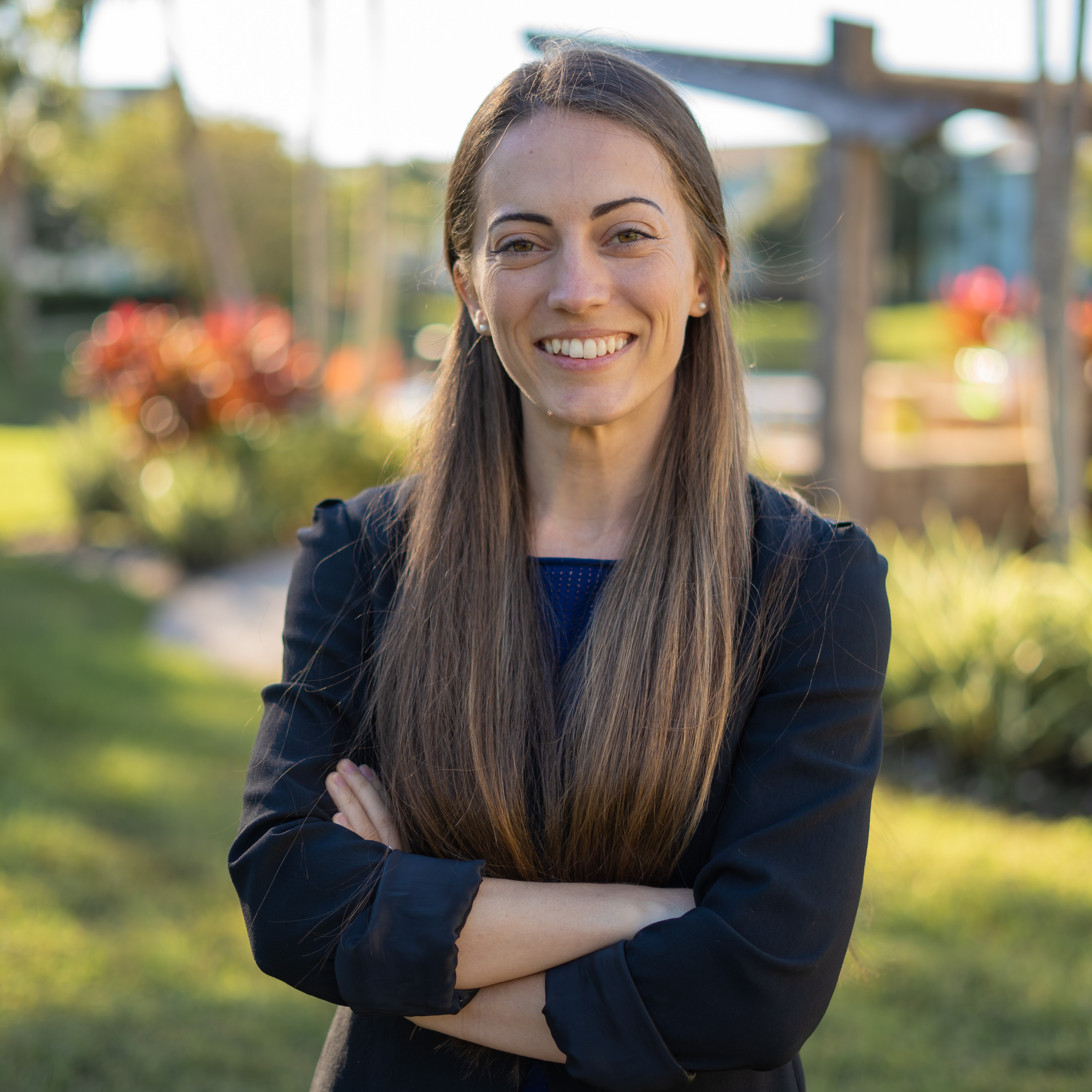
 Zaine Arth, EI Zaine Arth, EI
Water Resources Project Designer
HDR, Inc.
Zaine Arth graduated from the University of Florida where he received his Bachelor of Science in Civil Engineering. Zaine has been involved primarily in work relating to engineering during construction for various C-44 projects, wetland reserves project design, wetland restoration, Hydrodynamics and Hydraulics Modeling, nutrient removal analysis/modeling, and water resource and treatment project inspections. Carlee Chaffin has worked for HDR Engineering for two years as a water/wastewater EIT. She received her Bachelors of Science in Civil Engineering from the University of South Florida (USF) in 2019 and is currently enrolled part-time in USF's Masters of Environmental Engineering program.
 Carlee Chaffin EI Carlee Chaffin EI
Water/Wastewater E.I.
HDR, Inc: Tampa Office
Carlee Chaffin has worked for two years as a water/ wastewater E.I. in HDR’s Tampa office. Her work has included stormwater nutrient removal projects in the Tampa Bay area, constructed wetlands in South Florida, and water treatment and water resources work across the state. Carlee graduated with her Bachelor of Science in Civil Engineering from the University of South Florida (USF) in 2019. She is currently working full-time while studying for her Master’s in Environmental Engineering at USF.
|
Session D3.3
How, Where, and When Did the Panther Cross the Road?
Jason Houck, GISP, PWS
3:15 – 3:45 PM ET
| About the Presentation |
|
Florida’s population grew by more than 14 percent to nearly 22 million people, from 2010 and 2020. The University of Florida’s Bureau of Economic and Business Research projects that Florida’s population may reach 26.5 million people by 2040. As Florida grows, highway capacity improvement projects are necessary to ease congestion and improve public safety.
The increase in frequency or road widening along with new greenfield projects results in an increased rate of habitat fragmentation and wildlife isolation. The increased fragmentation has accelerated the need for wildlife crossings and other facilities that attempt to repair or enhance habitat connectivity. Additionally, the inherent conflict between highways and wildlife has resulted in considerable opposition and long-term delays to the Florida Department of Transportation (FDOT) efforts to accomplish planned highway improvements ahead of the predicted population increases. The INVEST in America Act, which includes $100 million annually for wildlife crossings, and the Florida Wildlife Corridor Act, which provides $300 million for the Florida Wildlife Corridor through the Forever Florida program, are just two examples of recent policy success stories that confirm the almost universal support for maintaining and enhancing wildlife habitat connectivity nationwide.
What may have started as a simple bridge or culvert retrofit project can evolve into planning studies coupled with landscape-level ecology emphasizing data-driven design and siting requiring coordination between engineers, scientists, regulators, planners, non-governmental organizations, elected officials, and the general public. This collaboration has increased the overall number and efficacy of wildlife crossings and garnered increased public support for these projects in light of the increased cost compared to a traditionally designed and constructed linear transportation facility. As the need for habitat connectivity increases, deliberate and premeditated actions are necessary to provide the needed connectivity enhancements while balancing costs, regulatory timeframes, and project schedules.
This presentation will focus on the increased need for wildlife crossings and habitat connectivity enhancements throughout Florida. It will include specific examples from current and planned projects, lessons learned, partnering opportunities, and an overview of recent policy changes adopted by the FDOT to provide improved wildlife connectivity. Don’t miss pictures and videos highlighting wildlife crossing success stories!
|
| About the Speaker(s) |
|
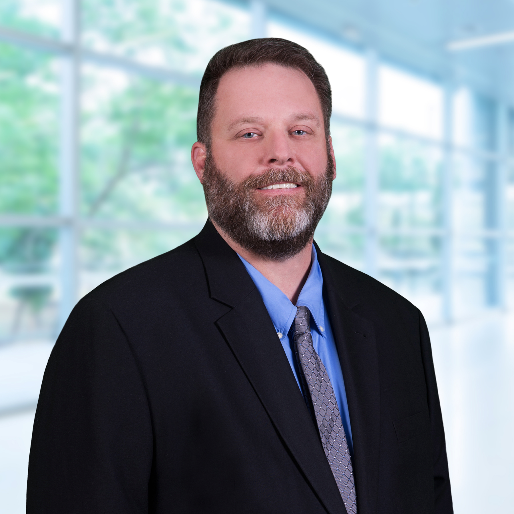
 Jason Houck, GISP, PWS Jason Houck, GISP, PWS
Ecological Services Manager
Inwood Consulting Engineers, Inc.
Jason Houck, GISP, PWS, is an Associate Principal and the Ecological Services Manager at Inwood Consulting Engineers, Inc. He has served as a senior ecologist on numerous transportation, NEPA, and watershed projects throughout Florida and Tennessee since 2001. He received his BS and MS at the University of Tennessee in 2001 and 2003. Mr. Houck’s expertise includes landscape ecology and roadway corridor analyses pertaining to wildlife movement and corridor permeability. Recent work includes the development of wildlife crossing and habitat connectivity plans for several major FDOT projects that were presented at the International Conference on Ecology and Transportation in 2019.
|
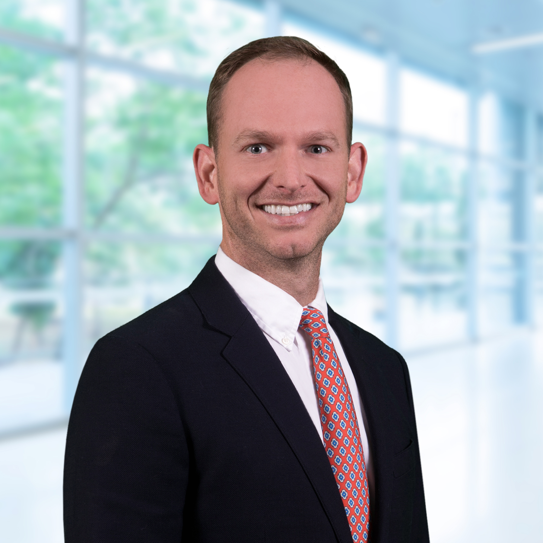
 Ben Shepherd, PWS Ben Shepherd, PWS
Senior Ecologist
Inwood Consulting Engineers, Inc.
Ben Shepherd, PWS, is a Senior Ecologist and Senior Associate with Inwood Consulting Engineers, Inc. He has more than 14 years of experience in environmental consulting in the southeast United States, including state and federal permitting for energy and linear transportation projects. He has planned and implemented unique mitigation opportunities related to wildlife crossings that improve habitat connectivity, road permeability, and public safety while reducing costs for wetland mitigation. He holds Master’s Degrees in Interdisciplinary Ecology and Environmental Engineering from the University of Florida. In his free time, he enjoys going to the park and beach with his kids.
Back to Schedule
|

 Erick Harter, PG
 Zaine Arth, EI
 Carlee Chaffin EI
 Jason Houck, GISP, PWS
 Ben Shepherd, PWS