|
Session B3.1
Streamlining Environmental Regulatory Workflows with Geospatial Technology
Sunny Fleming
2:15 – 2:45 PM ET
| About the Presentation |
|
Water regulation is a pressing issue across the United States. Whether it’s water quality, accessibility, or ecosystem services, environmental departments must ensure they enforce EPA federal clean water and safe drinking water laws. This necessitates a collaborative partnership between federal, state, and local governments as well as with private industry such as environmental consultants. The EPA enforces federal clean water and safe drinking water laws, environmental organizations conduct surveys and field analyses, and these fuel state and local regulatory agencies to verify and provide transparency with the public, often with data and information submitted by environmental scientists from private industry.
Taking the geographic approach to this entire workflow enables government officials, consultants, and scientists to collaborate more effectively and efficiently to collect, analyze, monitor, and share critical information. Leveraging geospatial technology streamlines the entire regulatory process which results in more efficient reviews and the establishment of central, authoritative databases with far-reaching value. In this presentation, we will explore how Esri’s ArcGIS technology and tools can improve your environmental regulatory review processes. Using water regulation as an example, we will also demonstrate how these streamlined processes can be standardized across your environmental review workflows and customer examples on how this vision has been brought to life elsewhere.
|
| About the Speaker(s) |
|
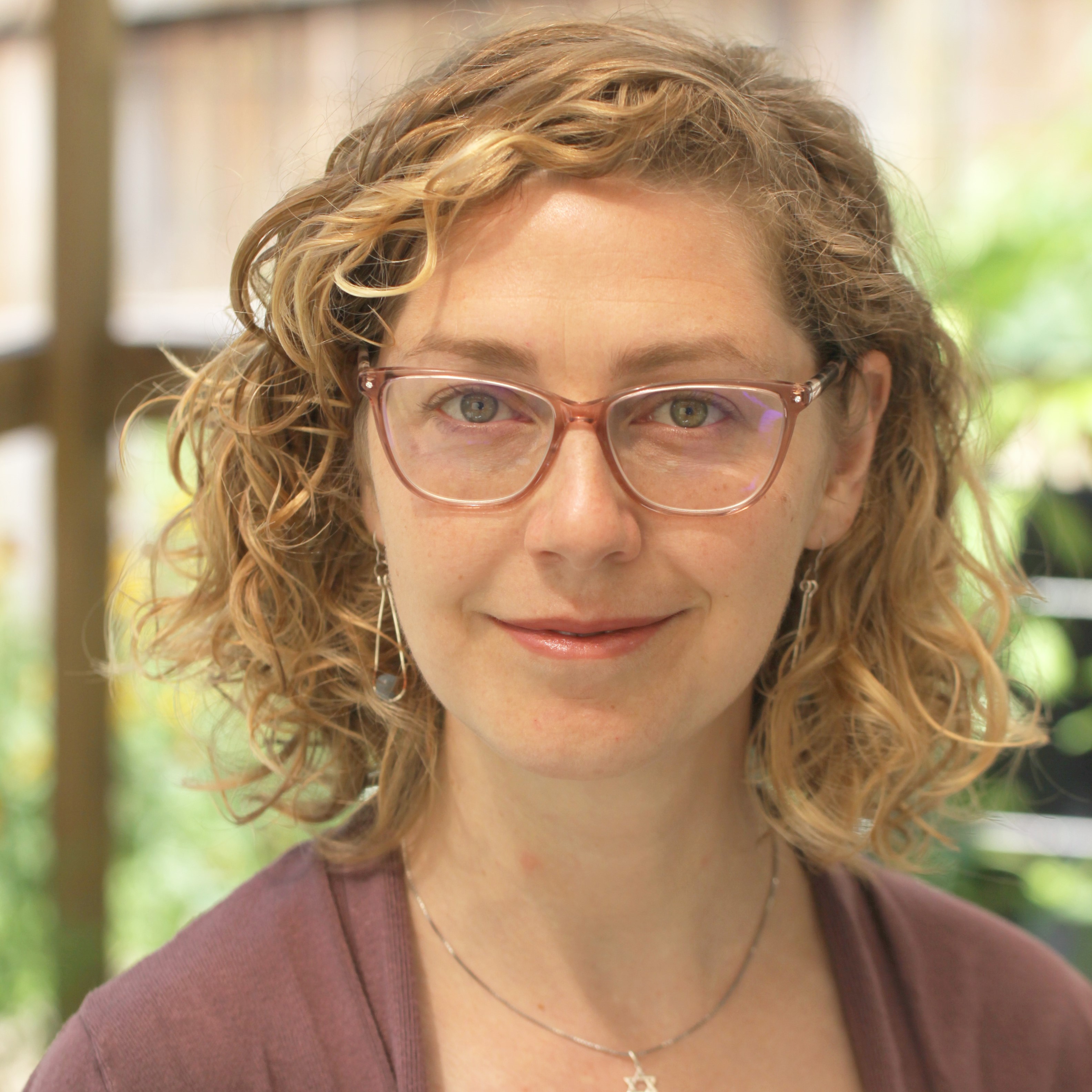 Sunny Fleming Sunny Fleming
National Solutions Engineer - Environmental, State Government
Esri
Sunny Fleming is Esri's National Solution Engineer for state environmental agencies. Sunny has over 10 years of experience applying GIS to environmental practices, first in Tennessee, including in management roles developing strategies to implementation and in-field experience. All of these experiences involved the implementation of GIS for environmental challenges, whether for outdoor recreation agencies or for environmental processes. For the past 3 years, she has brought these experiences to Esri to help support a broad range of customers in modernizing their application of GIS to overcome their own challenges.
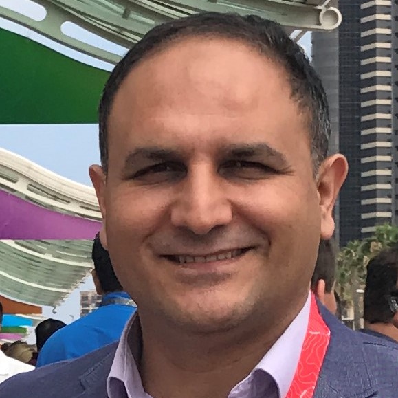 Mehmet Secilmis Mehmet Secilmis
Global Account Manager - AEC & Environmental
Esri
Mehmet Secilmis is a global account manager for Esri, a leading geospatial software company. He is with Esri's AEC & environmental practice team and based in San Antonio, TX. He works with the engineering and environmental firms to discover the power of GIS and solve the real problems they have. He has over 20 years of diverse experience in environmental science/engineering and GIS. His educational background includes an MS degree in Environmental Technology and an MS degree in Management with a concentration in Management of Technology.
 Gina O’Neil, PhD Gina O’Neil, PhD
Data Scientist
Esri
Dr. O'Neil joined Esri in 2019, where she is a technical consultant and member of the Arc Hydro team. Her Esri work focuses on advanced spatial analytics related to remote sensing, machine learning, and hydrology. Prior to joining Esri, Dr. O’Neil completed her Ph.D. in Civil and Environmental Engineering from the University of Virginia. Her dissertation focused on geomorphologic modeling for wetland identification, leading to the development of Arc Hydro’s Wetland Identification Model (WIM).
|
Session B3.2
Use of GIS Technology in Brownfields Assessment and Redevelopment
Mehmet Secilmis, GISP
2:45 – 3:15 PM ET
| About the Presentation |
|
Identifying, categorizing, and prioritizing brownfield sites can be difficult. In this session, HR Green will be teaming with Esri to present on how geographic information systems (GIS) can assist in this process. More than simply a ‘pretty map’, GIS is a versatile analytical tool for examining spatial problems. The session will begin with an overview of different ways GIS can be used on brownfields projects to streamline workflows and improve decision-making. We will then look at a GIS prioritization model developed by HR Green that identifies potential brownfield properties and scores them based on environmental risk and redevelopment potential. This model seeks to assign higher redevelopment scores to properties most likely to be desirable to developers as ‘shovel-ready sites’ for reuse following cleanup. It is robust enough to give full and equal consideration to every parcel in a community. Thousands of city parcels are systematically evaluated against a wide range of environmental and redevelopment GIS data. The GIS model is a critical component of a comprehensive approach for identifying brownfield redevelopment opportunities. We will finish by looking at how the GIS analysis fits into the larger process of site selection and examining some positive outcomes.
|
| About the Speaker(s) |
|
 Mehmet Secilmis Mehmet Secilmis
Global Account Manager - AEC & Environmental
Esri
Mehmet Secilmis is a global account manager for Esri, a leading geospatial software company. He is with Esri's AEC & environmental practice team and based in San Antonio, TX. He works with the engineering and environmental firms to discover the power of GIS and solve the real problems they have. He has over 20 years of diverse experience in environmental science/engineering and GIS. His educational background includes an MS degree in Environmental Technology and an MS degree in Management with a concentration in Management of Technology.
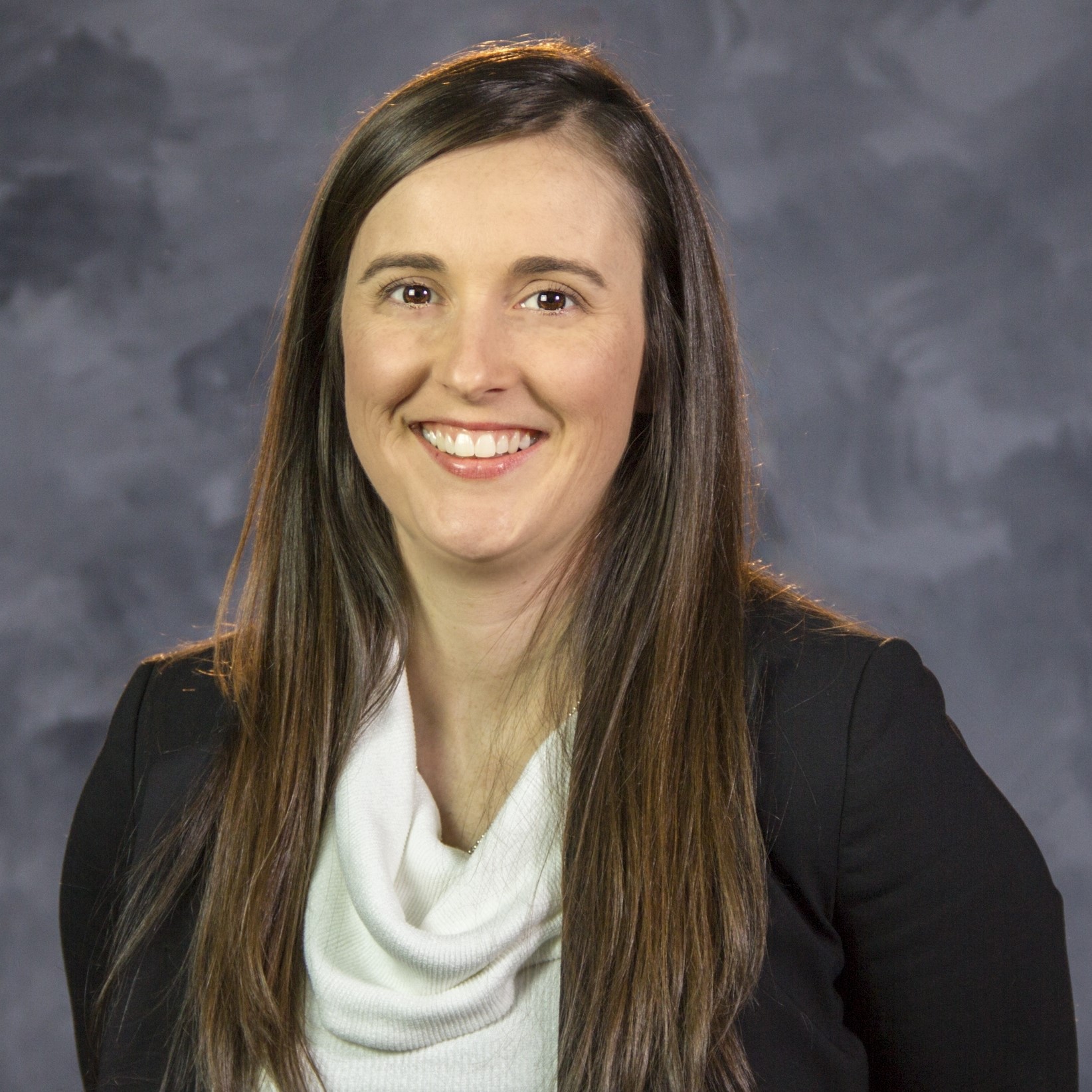 Rose Amundson, CGP - IA Rose Amundson, CGP - IA
Project Scientist II / Project Manager
HR Green
Rose Amundson is a Project Manager in HR Green’s Transportation Group, based in Cedar Rapids, IA. She has over a decade of experience in the environmental field, specializing in brownfields assessment, mitigation, redevelopment, and due diligence. Rose has worked with numerous municipalities to help them achieve their sustainable redevelopment goals through the EPA Brownfields Program. This includes collaborating with city staff and key stakeholders and assisting with the development of a GIS-based model to prioritize potential brownfields sites. Rose holds a BS in Environmental Science from Iowa State University and a MS in Hydrology from the University of Arizona.
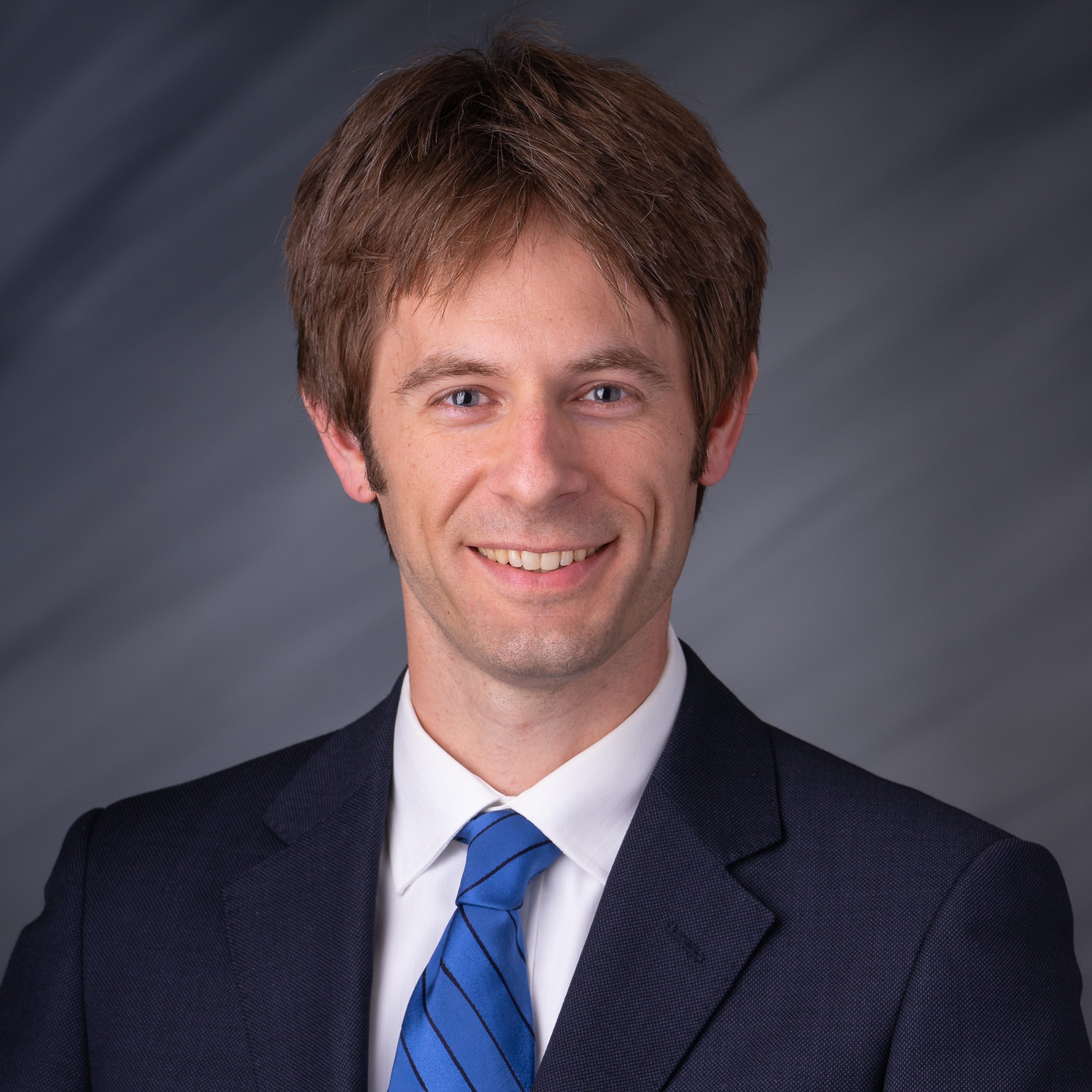 Pete Lovell, GISP Pete Lovell, GISP
GIS Practice Advisor
HR Green
Pete Lovell is a GIS Practice Advisor in HR Green’s Geospatial Group, based in Des Moines, IA. Pete’s innovative GIS solutions have helped many clients better understand and thoughtfully address complex problems. He has developed a variety of GIS models that streamline processes and enhance decision-making for environmental projects ranging from brownfield redevelopment to roadway corridor impacts assessment. He also performs TNM modeling on projects requiring traffic noise studies. Pete holds a BS in environmental science and a BS in biology from Drake University as well as a graduate certificate in GIS from Iowa State University.
|
Session B3.3
Static vs. Dynamic Sea Level Rise Inundation Mapping in Hollywood, Florida
Leonard Barrera, PE, WEDG
3:15 – 3:45 PM ET
| About the Presentation |
|
This presentation will discuss different inundation mapping techniques relative to sea level rise and king tides as part of the City of Hollywood’s Tidal Flooding Mitigation and Shoreline Protection project. The primary topic of interest is to summarize the advantages and disadvantages of using static (i.e., bathtub) vs. dynamic (i.e., hydrodynamic) modeling techniques to delineate the extent and depth of flooding. Static methods are commonly used to develop sea level rise inundation maps due to their simplicity; however, flood pathways and duration of flooding are not captured using these methods. Dynamic modeling utilizing hydrodynamic forcing can simulate both spatial and dynamic results. A comparison of techniques and modeling output of static and dynamic inundation mapping will be presented. Results of bathtub modeling using ArcGIS and hydrodynamic modeling using MIKE 21 HD for various current and future water level projections will be presented. Identification of flood pathways can provide decision-makers with better tools to prioritize adaptation and resiliency projects to vulnerable areas of the waterfront. The duration of flooding for different water level scenarios will also be presented to describe the effect of pedestrian, bicycle, and vehicular traffic.
|
| About the Speaker(s) |
|
 Leonard Barrera, PE, WEDG Leonard Barrera, PE, WEDG
Coastal Engineer
Cummins Cederberg, Inc.
Leonard Barrera Allen is a Coastal Engineer with experience in the planning, engineering analysis, and design of coastal and waterfront development projects in Florida, the Caribbean, and Central America. His experience includes field investigations, inspections, feasibility studies, beach nourishment, regulatory permitting, cost estimates, comprehensive coastal engineering analyses, numerical modeling, structural design, construction drawings, technical specifications, and construction management.
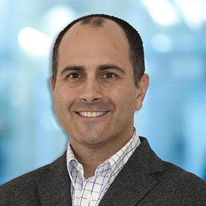 Jordon Cheifet, PE, CFM Jordon Cheifet, PE, CFM
Senior Coastal Engineer
Cummins Cederberg, Inc.
Jordon is a Senior Coastal Engineer with more than 15 years of technical and project management experience, including coastal engineering, beach nourishment design, waterfront structural design, FEMA coastal floodplain mapping, shoreline restoration/stabilization design, numerical modeling, and marina design. His field experience includes underwater waterfront facility inspections, GIS/GPS data collection and analysis, surveying, and construction administration. He has designed and inspected waterfront facilities for multiple municipalities including the City of West Palm Beach, City of Deerfield Beach, City of Miami, Martin County, and the City of Dania Beach. These projects include bulkheads, docks, jetties, revetments, beach nourishments, and kayak/boat launch ramps.
|
Back to Schedule
|

 Sunny Fleming
 Gina O’Neil, PhD
 Rose Amundson, CGP - IA
 Pete Lovell, GISP
 Leonard Barrera, PE, WEDG
 Jordon Cheifet, PE, CFM